- News
- UK
- Home News
The Met Office announced that ‘winter has arrived early across the UK’ in its latest forecast
Bryony GoochSaturday 22 November 2025 12:16 GMTComments CloseWhat is a 'sudden stratospheric warming' and how does it work
Get the free Morning Headlines email for news from our reporters across the world
Sign up to our free Morning Headlines email
Sign up to our free Morning Headlines email
Email*SIGN UPI would like to be emailed about offers, events and updates from The Independent. Read our Privacy notice
The UK could be facing another cold snap as the weather phenomenon that brought in 2018’s ‘Beast from the East’ looks set to have “significant implications” on the country’s weather.
The Met Office said “winter has arrived early across the UK, bringing cold Arctic air and a complex mix of weather hazards” after a week of ice and snow weather warnings across stretches of the UK.
Temperatures are set to increase this weekend as milder, more unsettled, Atlantic-driven weather moves in with cloud, rain and winds, but a sudden stratospheric warming (SSW) event in the next week could see colder weather return in the next two weeks.
A SSW involves a rapid increase in temperature in the stratosphere above the North Pole, often leading to a reversal of the stratospheric polar vortex winds, involving the rapid descent of cold air.
 open image in galleryColder weather could return to the UK in the next two weeks (PA)
According to the forecaster, this increases the likelihood of colder weather in the UK 10 to 14 days later by roughly 70 per cent. While not guaranteed, meteorologists will be keeping a close eye on the weather phenomenon that can lead to a colder than average start to winter.
“From the clash of Arctic and North African air masses to the impacts of heavy rain, flooding, and significant snow, the country is experiencing a wide range of conditions”, the forecaster reported. “Regional differences are stark, with some areas facing substantial snow while others enjoy sunny skies and frosty nights. The outlook remains uncertain, with the potential for further cold spells and unsettled weather as the season progresses. “
A SSW was the same weather phenomenon that led to the brutal ‘Beast from the East’ in 2018, which transported cold air from Siberia to Europe and heavy snowfall to Great Britain and Ireland. Temperatures plummeted across the country with lows of -14.7C recorded in Faversham, Kent, and Storm Emma brought 50 cm of snow in some elevated areas.
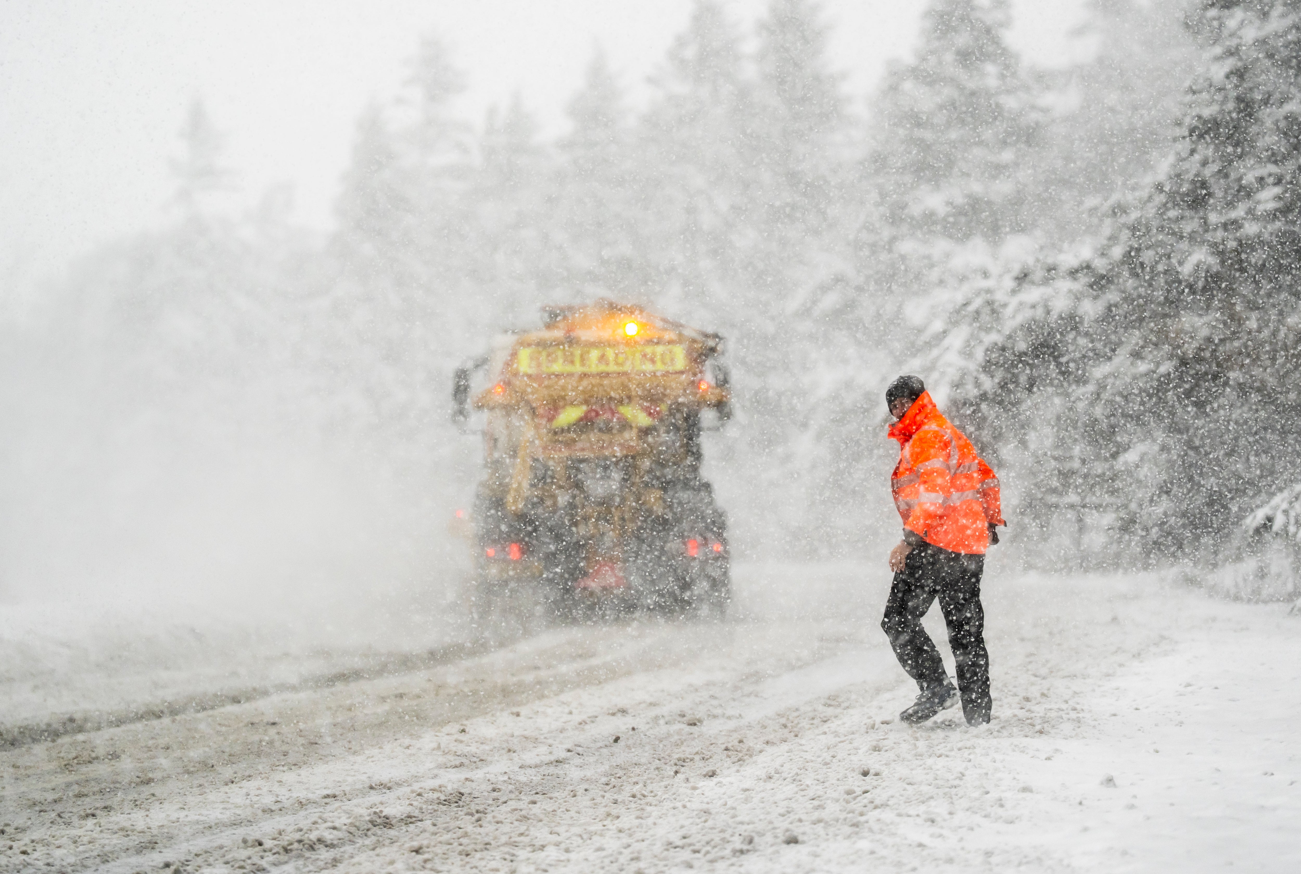 open image in galleryLows of -11.7C were recorded in Loch Glascarnoch on Thursday night, the coldest night of the season so far (PA)
Temperatures dropped well below average for this time of the year across the country this week with wind chill making it feel even colder with “feels like” temperatures widely at minus one or minus two degrees. The Met Office recorded lows of -11.7C at Loch Glascarnoch on Thursday night, the coldest night of the season so far.
The recent arctic air mass brought snow to the UK this week as schools were forced to close across the country, with yellow and amber ice and snow weather warnings issued for parts of the UK.
MET OFFICE OUTLOOK
Saturday:
Cloudy, wet and windy weather will move east across England and Wales. Scotland and Northern Ireland will be brighter with sunshine and showers, and brighter skies will reach the north and west of England and Wales later. Temperatures nearer normal.
Rain across central and southeast England slowly clearing. Clearer with showers elsewhere, though persistent rain and blustery winds arriving in the west. Some fog, and patchy frost in the north.
Sunday:
Wind and rain in the west moving north and east, becoming slow moving across Northern Ireland, northern England and southern Scotland. Brighter, showery in the far north, and increasingly south.
Monday to Wednesday:
Showery rain on Monday, especially central and eastern areas. Feeling cold again in blustery winds. Drier and brighter, with winds easing on Tuesday. Rain arriving midweek, though turning milder.
More about
beast from the eastcold snapWeather warningsUKMet OfficeWeatherJoin our commenting forum
Join thought-provoking conversations, follow other Independent readers and see their replies
Comments